 6 FI 6 FI 8667
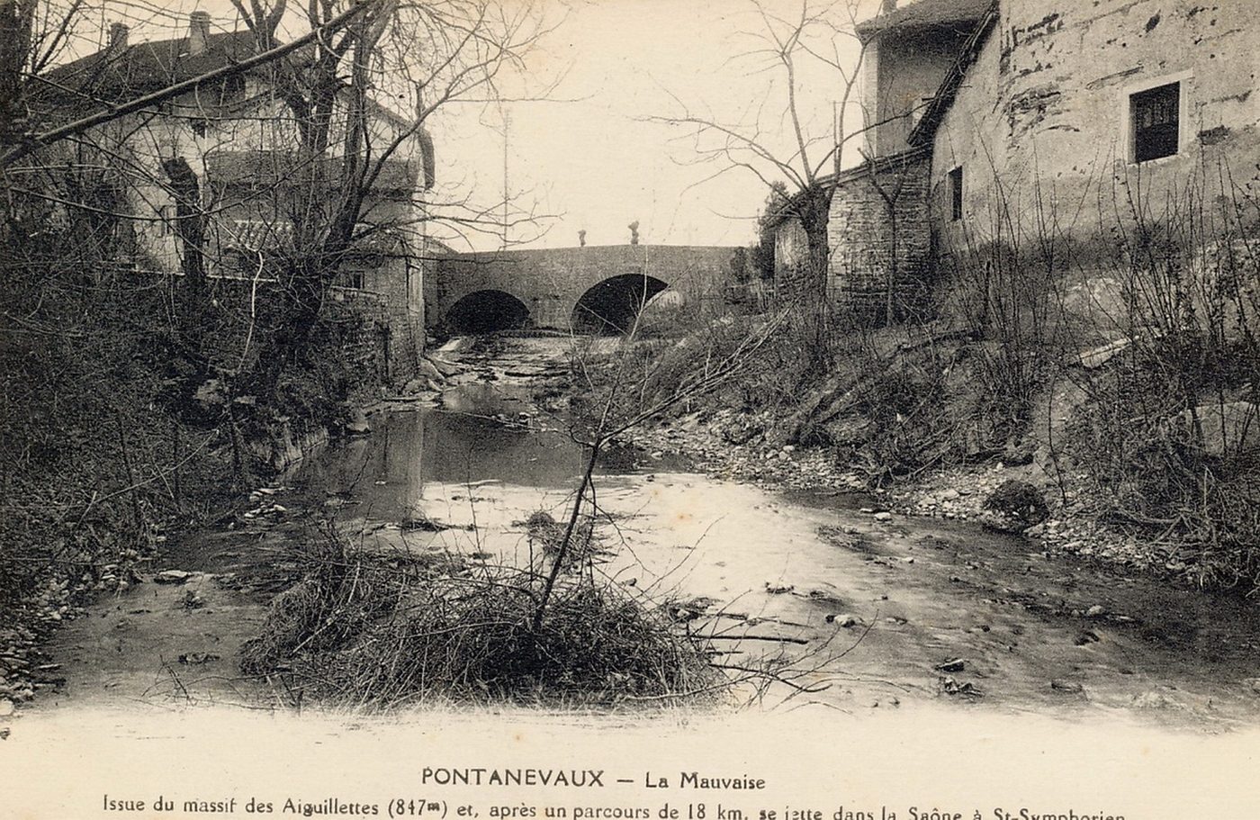
Pontanevaux. La Mauvaise. Issue du massif des Aiguillettes (847 m) et après un parcours de 18 km se jette dans la Saône à Saint-Symphorien.
| Typographie | CARTE POSTALE NOIR ET BLANC |
|---|---|
| Dimensions | H 9 X L 14 |
| Indexation lieu | La Chapelle-de-Guinchay / La Chapelle-de-Guinchay (canton) / Mâcon (arrondissement) |